
Walk a Perrysburg Street by Address
A Perrysburg street directory search works one parcel at a time. Begin with an exact location address, not a guessed household name. The Wood County Auditor directs specific-property research to its property-search database, and the Wood County Engineer's parcel service supplies the map layer that helps connect a street location to a parcel. That first link is important: a street number is a location reference, while the parcel number is the Auditor's identifier for the property.
From there, Wood County records form a careful chain. The county property path supplies current appraisal context; the Recorder's index can supply a recorded-transfer reference; the Board of Elections and local-history material may supply separate, dated information. None of those sources creates a complete list of everyone associated with a street. They answer different questions at different times.
- Enter the known address through the Wood County Auditor real-estate gateway, or locate it visually on the county parcel layer.
- Record the parcel identifier and any legal-description clue before moving to another record system.
- Use the recorded owner or transfer reference in the Wood County Recorder index, then compare the legal description before stepping to an earlier party.
- For a current residence question, consult the official voter route or request a bounded public record from the Wood County Board of Elections. Treat protected registrations as unavailable.
- For an older address, ask Way Public Library for its house-history, telephone-directory, map, or newspaper-index material and label every finding by date.
Note: Each step narrows a property record; it does not turn a street into a complete household roster.
Perrysburg Street Directory Parcel Route
The Wood County parcel-map service exposes a Parcels layer for map and query work. It supports JSON, AMF, and GeoJSON responses and has a 1,000-record maximum response. That makes it a useful geographic handoff for a difficult address or an unnumbered lot, but it is not a household database and the accessible service listing did not prove which tools appear in the public map viewer.
The reliable method is to identify one parcel, preserve its identifier, and then open the Auditor or Recorder path. A long Perrysburg street can cross subdivisions, contain vacant lots, or use different legal descriptions. Treating each parcel as its own unit avoids carrying a name or a deed reference from one lot to the next.
The Auditor real-estate information page is the county’s official property-search entry point before a specific record is opened.
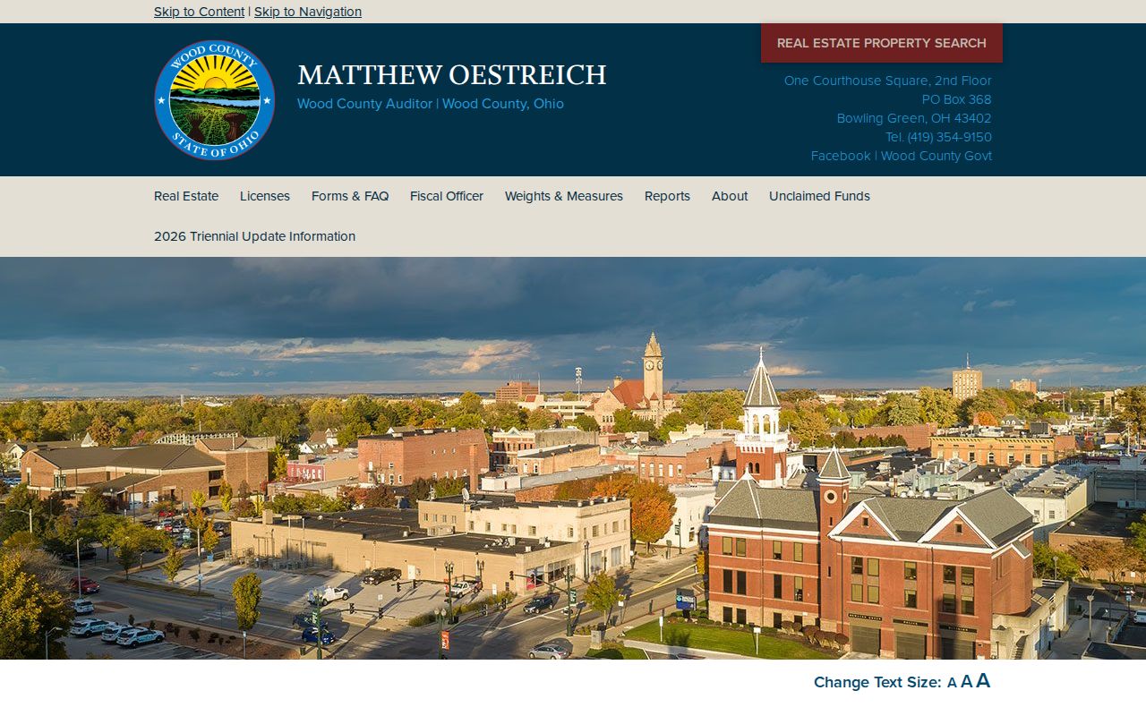
The capture shows the official gateway used to reach parcel and real-estate material, rather than an unverified third-party field list.
Perrysburg Street Directory Map Fields
Wood County's accessible map service has a small, verified set of controls and attributes. The Auditor's linked Beacon form was blocked by Cloudflare during the research inspection, so its live search labels should not be guessed. The map-service details below are the actual exposed fields and service features available for a Perrysburg street directory workflow.
| Field or control | Type | How it helps |
|---|---|---|
| Parcels layer | Map layer | Displays the county parcel layer, identified as layer 0. |
| Query interface | Spatial or attribute query | Returns map-service information in JSON, AMF, or GeoJSON formats. |
| Map view and extent | Navigation context | Shows the service extent in Ohio State Plane feet. |
| Record response | Service limit | Limits one service response to 1,000 records. |
| Image export | Map output | Offers image and document formats including PNG, JPG, PDF, SVG, and TIFF. |
Those map features support location work, not a promise of street-name, radius, mailing-address, or owner filters. If the Beacon form loads in a normal browser, use its labels as displayed and keep the parcel result separate from any assumptions about occupants.
Perrysburg Street Directory Records by Address
Several custodians hold address-keyed fragments. The best Perrysburg street directory result says what the record actually establishes: current parcel context, a map relationship, a recorded transfer, a permit event, or historical local evidence. The table keeps the access channel beside the limit, which is especially useful when an online tool is incomplete.
| Address record | Custodian | Useful result | Access channel and limit |
|---|---|---|---|
| Property-appraisal record | Wood County Auditor | Parcel, location-address, valuation, and current owner context. | County-linked property search, counter, or phone; live field labels were not captured. |
| Parcel geometry | Wood County Engineer GIS | Boundary and map-selection context. | Public parcel service; map geometry does not show a household. |
| Tax information | Wood County Treasurer | Parcel number, location address, taxing district, tax year, and value terms. | Treasurer explanation; tax facts are not resident facts. |
| Recorded transfer index | Wood County Recorder | Party trail and instrument or book/page reference. | AVA from 1980, older book indexes, counter, email, or phone. |
| Permit material | Wood County Building Inspection | Address and date-range construction or inspection trail when retained. | Portal, counter, phone, or a targeted request; no public result search was verified. |
| Historical local sources | Way Public Library | House history, directories, maps, newspapers, obituaries, and cemetery or church material. | Collection, electronic resources, or librarian help; holdings are not a citywide roll. |
A parcel number links the county tax language to property identity. A deed reference links a recorded transaction to the Recorder. A dated library item can add an occupant clue, but it must stay a dated clue. For modern name-based verification rather than an address trail, use the Perrysburg resident lookup route.
Deeds Behind a Perrysburg Street
AVA is the Recorder's public electronic index from 1980 and indexed data is delayed about one day. The index is the opening channel for a recent transfer. Once a result gives an instrument number or book/page reference, a researcher can request a copy. The Recorder charges $2 per page and asks for the instrument number or book/page. It will not read documents to decide which legal description or pages matter.
The Wood County AVA index is the current index route. Its public interface did not render detailed fields during research, so this street directory does not invent them.
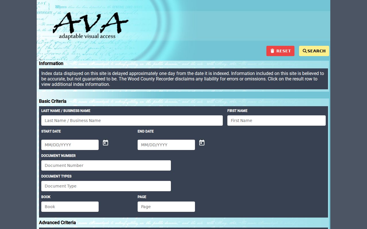
Use an AVA result to obtain a reference, then compare the document's legal description and the parcel before treating an earlier party as part of the same property trail.
For a copy request, the Recorder contact and copy-request page gives the office procedure and contact details.
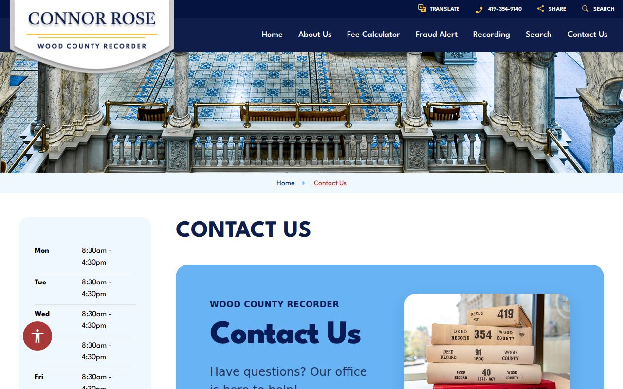
The Recorder's request rule is why an index reference should be written down before calling, emailing, or visiting the Bowling Green office.
Perrysburg Street Address Terms
County systems do not always use the same words people use in a Perrysburg street directory search. Reading those labels carefully prevents a mailing address or a tax credit from being treated as proof that a particular person lives at the property.
- Parcel number
- The identifier assigned by the Wood County Auditor to a property parcel.
- Location address
- The Wood County Treasurer's term for the actual property address. It is the local equivalent of a physical or situs address.
- Legal description
- The formal land description in a recorded document, often a lot, block, subdivision, outlot, or survey reference instead of a street number.
- Plat
- A recorded map or plan that can identify lots, blocks, and subdivision layout.
- Criss-cross directory
- An address-ordered directory when a particular historical volume is arranged by address. Way Library's exact reverse-directory runs were not verified.
A mailing address, when an official card displays one, is where notices go. It can differ from the location address. The Treasurer's owner-occupied credit is likewise a tax context clue, not a list of people at a property.
Perrysburg Street Directory Older Indexes
Older Perrysburg property research should not stop at the 1980 electronic boundary. The Recorder's Documents-On-Demand channel is for physical book indexes, including deed, geographic, and lease indexes. A legacy Recorder page identifies deed indexing for 1821-1893, miscellaneous and lease indexing for 1821-1969, and geographic and finance-statement indexing from October 7, 1985. Check the current folder before making an exact claim about one book.
The archived interface exposes Search Text, Any Word, All Words, Exact Phrase, a title-only restriction, Date Range, Start Date, End Date, and Folders to Search. Those fields make a historical index search different from AVA. A book-index hit is navigation evidence, not proof that the underlying document image is freely available.
The Wood County Treasurer's property definitions are also useful when a historical book uses a parcel or location term that needs comparison with a modern tax record.
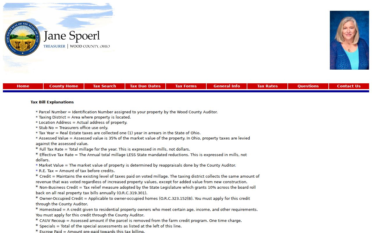
The official tax explanation helps distinguish the property identifiers that can carry an address trail across record systems.
Perrysburg Street Permits and Changes
Permit material dates changes to a building, not people. Wood County Building Inspection says its contractor portal handles online construction documents and applications, while email applications and documents are not accepted. A narrow request should identify the street address, the type of permit or inspection sought, and an approximate time period. The counter is a separate access channel when an online search does not expose the needed record.
Perrysburg's 2026 State of the City report recorded 1,224 zoning permits, 97 single-family home starts, and $64,012,422 in total construction value for 2025. That activity makes parcel changes and new plats practical considerations when comparing a current map with an older address clue.
See the Wood County online-services page for the Building Inspection route.
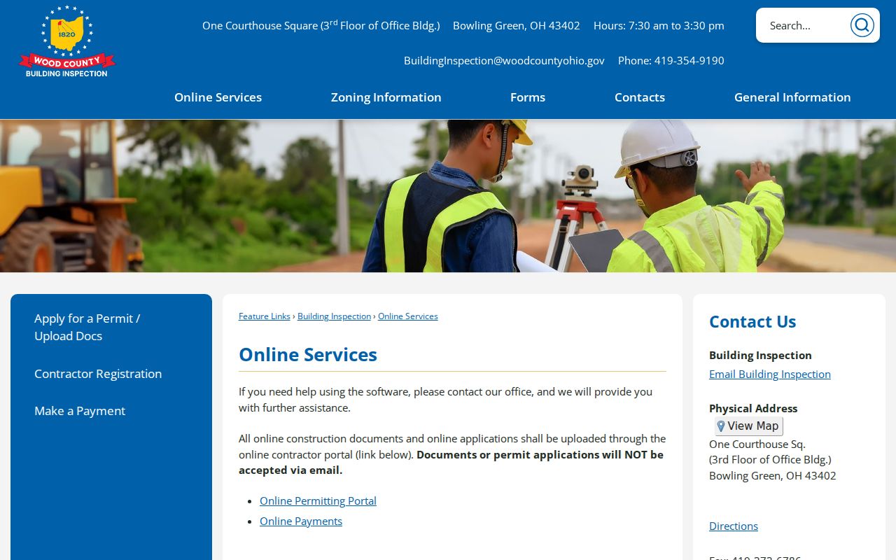
The service listing supports a targeted address-and-date request without suggesting that permit files identify every person connected with a building.
Note: Current map boundaries and permit dates should be compared with the date of the historical address evidence.
Perrysburg Street and Township Geography
Perrysburg is a city in Wood County, but Perrysburg Township is a separate public entity. The township was organized in 1823 and the city is listed as founded in 1833. A Perrysburg postal line alone does not decide whether a property lies within the city corporation, the township, a service district, or another jurisdiction. Parcel mapping, taxing-district information, and the record date do that work.
This matters because Wood County's main record custodians are in Bowling Green. County voters moved the seat from Perrysburg before the current courthouse was built in the 1890s. An address associated with Perrysburg may therefore lead to a county Recorder, Auditor, Board of Elections, Probate Court, Clerk, or Building Inspection office in Bowling Green, while Way Public Library remains the local historical source in Perrysburg.
Perrysburg Street Directory at Way Library
Way Public Library's Local History Collection offers House History Files, local telephone directories, maps and atlases, a newspaper index beginning in 1836, obituaries, cemetery and church material, yearbooks, oral histories, and a digital archive. Ask for the exact address, likely street spellings, surname, and period. The collection can help when an occupant was not the recorded owner.
Do not assume every telephone book is arranged by address. The accessed sources did not verify a complete Perrysburg reverse-directory run. A librarian or the actual volume can confirm whether an address lookup is available for a given year. Historical evidence should remain dated, even if the street label is familiar today.
The Perrysburg directory book route focuses on reading and comparing those historical sources rather than repeating the county parcel chain.
What a Perrysburg Street Directory Leaves Private
Property records connect recorded owners or parties to parcels. They do not reliably identify every household member, private utility customer, mail recipient, or protected resident. Ohio Public Records Act exclusions include names and addresses of certain municipal-utility customers. Election law also excludes confidential registrations and protected fields. A historical telephone or newspaper mention is a dated event, not a continuing residence claim.
Ohio's Safe at Home program can protect participant information and related property records from public release. The April 2025 update to Ohio R.C. 149.45 also provides a form-based online-address redaction process for qualifying people. A missing result may reflect a protected record, a portal gap, or a date mismatch.