
Perrysburg Neighbors Block Source Coverage
Perrysburg neighbors can be researched through several narrow record systems, each answering a different block question. The first level is geography: a public parcel layer can show which polygons touch the subject parcel. The next level is a county property record for each selected parcel. A recorded document, a precinct list, or a library file may add a different date or role. None of those sources is a complete list of household members, delivery recipients, or protected people.
| Block source | What it shows about the block | Access or limit |
|---|---|---|
| Wood County parcel map | Contiguous parcel geometry and map relationship | Public geography layer, not a person list |
| Auditor property path | Current parcel and listed-owner context | Check each identified parcel separately |
| Recorder index | Recorded parties and document trail for a parcel | AVA is 1980 forward; older books are separate |
| Precinct registration list | Defined election facts within a precinct | Protected records remain excluded |
| DATA Act files | County voter snapshots by date and election | Download route, not a street-map search |
| Way Public Library | Dated house, telephone, map, newspaper, or obituary context | Historical holdings are not a full block roster |
| Perrysburg Chamber directory | Voluntary member organizations and business contacts | Not an official neighborhood directory |
That order matters. A current listed owner and a current neighbor are not interchangeable terms. The map can show a shared edge; it cannot prove that two named people are next-door household members. Record the source date, the parcel number, and the relationship it actually displays before comparing it with any other Perrysburg neighbors record.
Map Perrysburg Neighbors by Parcel
The verified Wood County method uses visible contiguous parcels. The county’s public parcel-map service exposes a Parcels layer, query support, and a 1,000-record maximum response. The research did not verify a radius, buffer, measure, print, or named neighbors control in the rendered viewer. Do not assume those tools exist. Work from the parcel boundary actually visible on the official layer.
- Find the known Perrysburg address on the parcel layer and note the subject parcel identifier and the map date.
- Pan or identify only the polygons that visibly touch the subject parcel. Write down each adjoining parcel identifier before opening another record.
- Take one identifier at a time to the Wood County Auditor property path for current parcel-record and listed-owner context.
- When a document history is relevant, use the Recorder index with the parcel’s legal description or known instrument reference, keeping the date and party role attached to the result.
- Stop where the geography stops. A road, rail line, waterway, common area, or subdivision boundary can make a nearby parcel close without making it contiguous.
A large parcel, a multi-unit parcel, vacant land, a common area, or an entity-owned property needs extra care. Those conditions prevent a parcel relationship from becoming a statement about individual Perrysburg neighbors. For a complete named-street record trail, use the Perrysburg Street Directory rather than expanding this block method beyond its evidence.
Note: Preserve the parcel identifier before opening other records, because similar street numbers can belong to different legal parcels.
Perrysburg Neighbors Parcel Geography
Map boundaries need a jurisdiction check as well as a boundary check. Perrysburg City and Perrysburg Township are distinct public entities, and a postal Perrysburg line does not by itself establish city or township jurisdiction. Use the map, taxing district, current municipal boundary, and date of the record to resolve the place. Perrysburg’s city code also contains annexation, subdivision, planning, and historic-district material that can help explain why an older property description does not look like a current parcel entry.
The historic-district rule requires a register with maps, boundary descriptions, photographs, and reasons for listing that is available for public inspection. That can be a useful address-history clue, but it is not a resident list. The 2026 State of the City also reports 1,224 zoning permits during 2025, an indication that current local address and permit records may change as new plats and lots are added. Treat each map and record as a date-stamped source.
Perrysburg’s municipal-code gateway provides the local civic context for an address record.
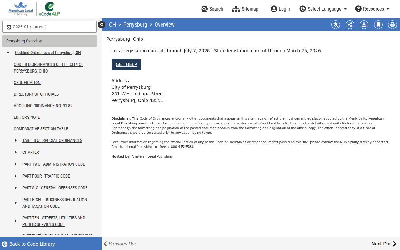
The code route helps distinguish address-history materials from parcel ownership or present-neighbor conclusions.
Perrysburg Neighbors Precinct Records
A precinct list is an election record, not a block map. Ohio R.C. 3503.23 requires a complete official registration list before an election with names, addresses, and the recent-primary party fact it defines, except for confidential records. The list is available for public review at the Board during normal business hours and posted at a polling place on election day. It does not show candidate choices, every past address, or everyone living in a particular house.
For a narrow Wood County request, identify a precinct and date instead of asking for an inferred list of all neighbors. The Ohio DATA Act voter-file service supplies date, election, and county selection for official snapshot files. It retains county snapshots for at least 22 months, and its custom package process has its own delivery requirements. The Wood County Board of Elections also accepts public-record requests by phone or email. Confidential voters and protected addresses remain outside the public route.
Perrysburg Neighbor Civic Directory Limits
The community-directory layer is much narrower than a map or property record. The Perrysburg Area Chamber directory is a searchable voluntary member directory. It can help locate a participating civic organization or business contact, including organizations such as the Perrysburg Area Historic Museum and Perrysburg Rotary Club. The accessed “P” result set contained 34 entries, which demonstrates a searchable membership directory rather than a complete neighborhood-association inventory.
| Official or voluntary category | What it supports | What it cannot establish |
|---|---|---|
| County parcel, Auditor, and Recorder records | Parcel geometry, property-record context, and recorded-document parties | Every resident or household relationship |
| Election records | Defined public voter information subject to statutory exclusions | A complete nearby-address or family list |
| Voluntary community directories | Participating organization or business contact information | All neighbors, association members, or property ownership |
| Commercially compiled neighbor-search category | Possible unverified lead only | A substitute for a dated official or library source |
The City of Perrysburg staff directory is a separate public department-contact resource, not a neighborhood or HOA roster. The authoritative sources reviewed did not identify an official citywide neighborhood-association, block-watch, congregation, or civic-council membership directory. Do not fill that gap with an assumed association list.
The Perrysburg Area Chamber’s public directory shows its voluntary member-search route.
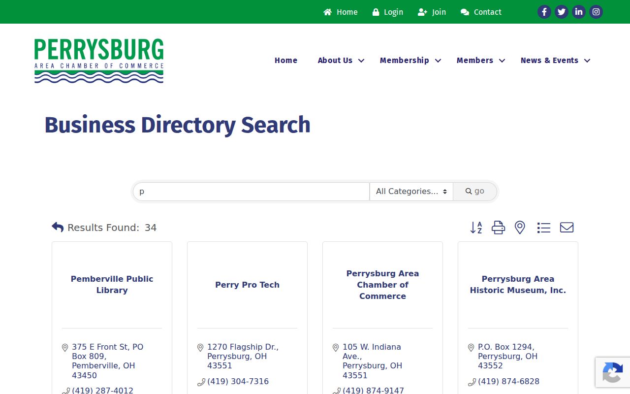
The Chamber screen is useful for a participating organization contact, but it does not create a neighborhood roster.
The Perrysburg city staff directory supplies department routing for city-held requests.
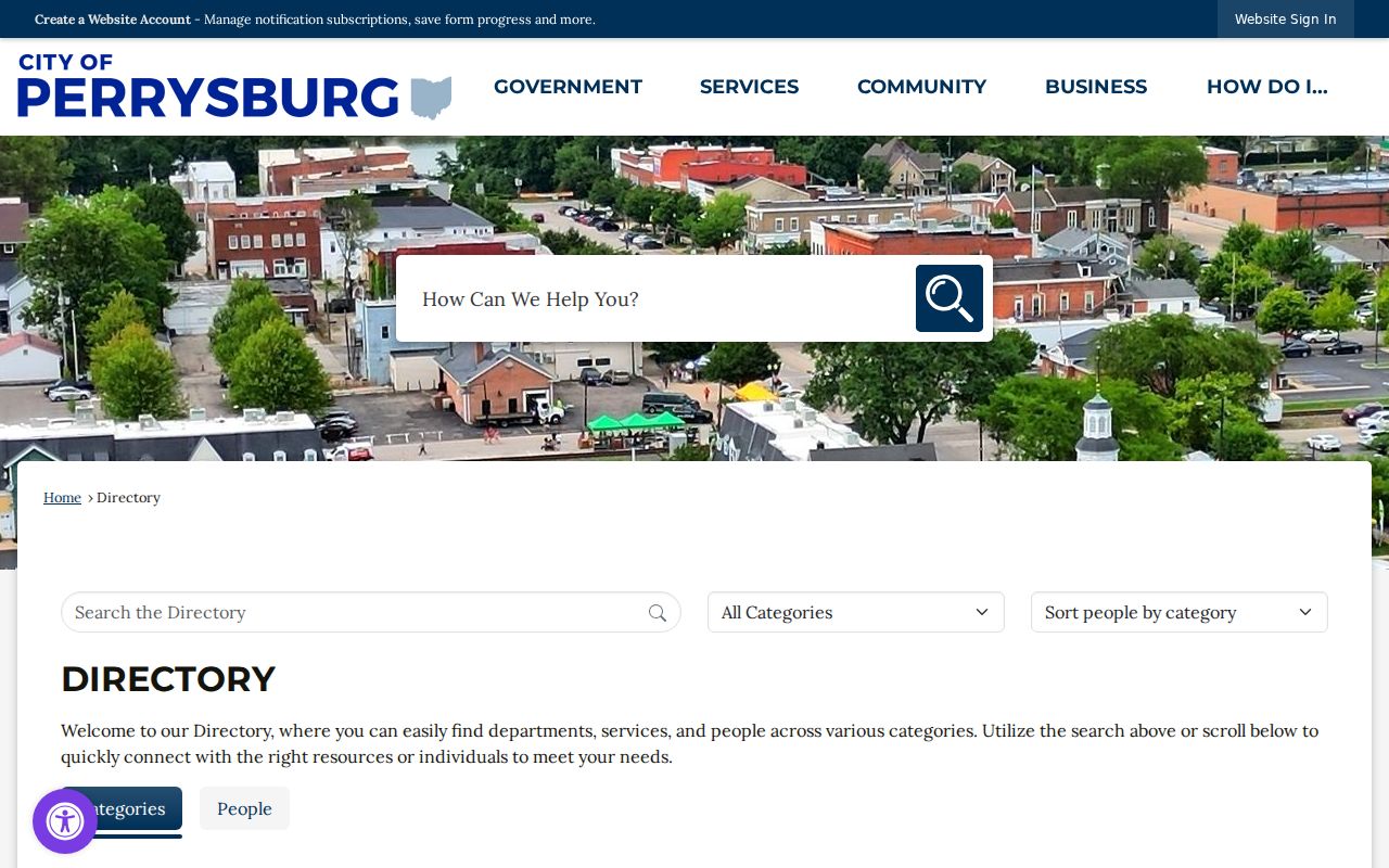
Use the city directory to reach the appropriate public office, not to identify people around an address.
Perrysburg Neighbors Historical Sources
Way Public Library supplies the most local historical counterweight to current property systems. Its Local History Collection includes House History Files, telephone directories, maps and atlases, a local obituary file, church and cemetery records, Perrysburg High School yearbooks, historic photographs, and a local newspaper index beginning in 1836. These sources can establish a dated context for an exact address or surname when a current parcel record says little about prior occupants.
Keep the labels separate here too. A person in a telephone directory may be a subscriber. A person on a deed may be the owner, even if they lived elsewhere. A newspaper notice or house-history file is a dated source event, not proof of a continuing residence. The Library’s digital collection and BGSU archival guides make good fallbacks when the public map or county portal does not reach the time period in question.
Note: Historical household material gains value when paired with its publication date and the source’s own description of the person.
Perrysburg Neighbors Property Alert
Property research can also be preventive. The Wood County Recorder Property Alert is a no-cost service that notifies a registrant when the Recorder indexes a document matching the registrant’s name criteria. Any Wood County property owner can register. It is useful for an owner watching their own recorded-document activity, not for monitoring someone else’s household or property.
An alert is not a title guarantee, a fraud finding, or a substitute for reviewing the index and requesting the actual record. If an unexpected notice cites a deed or document, use the Recorder’s real contact information and ask for the instrument number or book/page reference. That provides a checkable record reference rather than a vague address-based claim.
Perrysburg Neighbors Privacy Limits
Ohio public-record access has firm boundaries. The Ohio Public Records Act excludes many categories, including names and addresses of specific municipal-utility customers. Safe at Home can protect participant names, addresses, confidential voter registrations, and certain property records. Voter law separately excludes protected registration data. A parcel map, voter record, and local directory therefore reveal only fragments, and their gaps should not be treated as evidence about a person.
Keep utility accounts, delivery recipients, household members, confidential voters, and protected residents outside a neighbor inquiry. If a protected address appears online, do not redistribute it. Contact the responsible office and use the applicable confidentiality or redaction route. When a questionable court or property notice arrives, independently verify it with the named public office rather than relying on contact details in the notice.
Lawful use. Use Perrysburg neighbors records only for lawful personal, historical, civic, or property research. Ohio law prohibits using location information to stalk, harass, threaten, or harm anyone.
Ohio’s menacing-by-stalking statute states the legal boundary for misuse of location information.
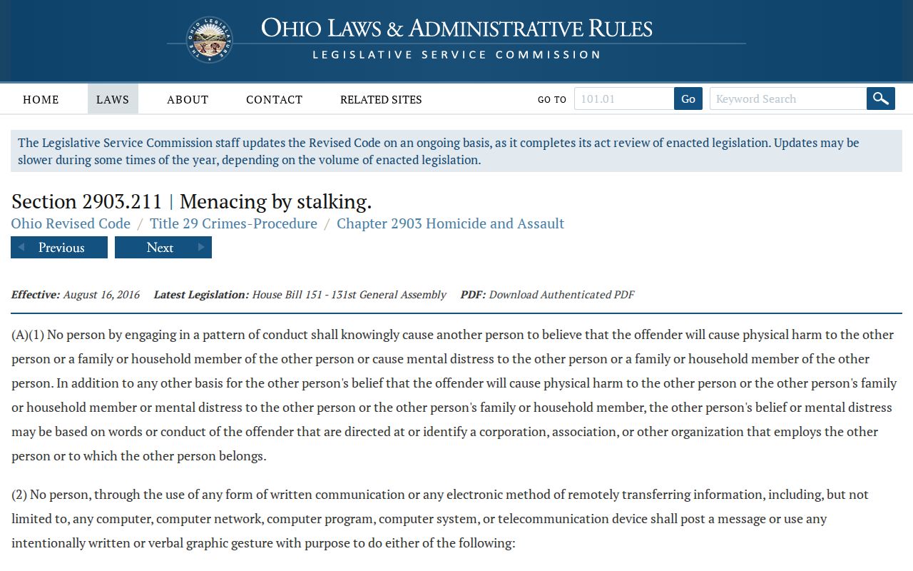
The statute link is a safeguard for personal research, not an invitation to expand a parcel search into surveillance.
Perrysburg Neighbor Record Terms
Using the right words prevents a map relationship from becoming a personal claim. These terms keep notes about Perrysburg neighbors tied to the source that supplied them.
- Contiguous parcel
- A parcel polygon that touches the subject parcel’s boundary or corner on the map. It does not identify a household.
- Parcel identifier
- The county’s property-record key for a specific parcel. It is more reliable than matching street numbers alone.
- Location address
- Wood County’s term for the physical address of a property. It can differ from a mailing address shown on a particular record.
- Precinct list
- An election record organized by precinct under Ohio law, with defined public fields and statutory exclusions.
Use the source’s own term in research notes, then add the record date. Clear labels prevent a Perrysburg neighbor map check from turning into an unsupported claim about a household.